


Beth Martin Nixon looks back on the recent Year 9 trip to Manchester:
Friday 29th June was a beautiful sunny day for Year 9’s urban Geography field trip to East Manchester.
We nearly didn’t get to go on the trip as the first set of coaches didn’t turn up. We did wonder if we would be using the tram to travel to East Manchester, but Mr Hardman was quickly able to arrange for Yelloway to send two replacement coaches.
The purpose of the field trip was to look at the regeneration initiatives that had taken place and then to evaluate the environmental quality at a number of locations in Manchester.
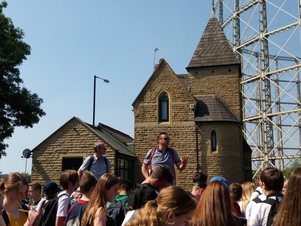
The first location was Philips Park, which has been beautifully maintained, with many of the Victorian buildings having been carefully restored to their former glory, and the garden areas well cared for. We scored this area as having a high environmental quality.
From Philips Park we walked down the tree lined Alan Turing Way to Sport’s City, home of the Velodrome, National Squash Centre, City of Manchester Stadium (Etihad), and the football training grounds. The City of Manchester Stadium was built in 2002 for the Commonwealth Games and Mr Hardman explained that it was the catalyst for regeneration in this area which had been the site of heavy industry in the C19th but had been in decline in the later part of the C20th. The Stadium is now home to Manchester City Football club, and is also used for many concerts, including some of Manchester’s most famous groups, the Stone Roses, Courteeners, Oasis and Take That. All these events attract visitors to an area which was previously in decline, offer sport and health facilities and also offer employment to local people.
We then went into Eastland’s Asda to cool down in their air conditioning, and walked over the link bridge from the training football grounds to the stadium and into the cloud of smoke from the Saddleworth Moor fires; not a good omen for our DofE expeditions the following week!
Mr Smith pointed out that many of the brownfield sites in East Manchester had be cleared and made ready for future development by a number of agencies, including the European Regional Development Fund, and we wondered if after Brexit, if Manchester will receive funding like this again.
We then walked through Bradford to Holt Town looking at the juxtaposition of the Mercedes garage next to the council housing. In this area we found broken glass on the floor, graffiti, some buildings were protected by barbed wire, and there lots of weeds and grass that needed cutting. We gave this area a low score for the environmental quality. Dr Leggett explained that working class people lived in this area.
We then walked to New Islington and Ancoats. What made Ancoats great was that this area led the world’s industrial revolution. The grand buildings that make this area so distinctive have had a change of use, from cotton mills to apartments and bars and restaurants. The careful conversion of the mills has ensured that the area has retained it’s character and we scored this area has having a fairly high environmental quality. Some sites in New Islington and Ancoats have been cleared to make way for new homes, there are lots of apartments being built, Urban Splash’s iconic Chips Building on the bank of the Ashton canal is a good example. Mr Douglas taught us in class that people are moving back to this area, and we could see that this was evident by the number of new apartment blocks that have been built. The canals have been improved and cleaned to make an attractive marina. Some of the old mills have been demolished and the sites left as green spaces for the new residents to this area to use. My great great grandad worked at the Star Iron Works which was one of the building that has been demolished and is now a green space. The Victorian pub closest to this area, the Bank of England is now all boarded up and covered in graffiti, even though it is next to a new apartment block. There is a great mix of land use in this area, high value apartments and new restaurants, next to council houses and boarded up pubs.
We stopped in Ancoats and ate our lunch on the bank of the Rochdale Canal, then walked down Great Ancoats Street past some new bars that had opened fairly recently. We didn’t have time to explore Oldham Street, which is another area of the city which is benefiting from regeneration, but walked down the CIS Buildings where we counted 10 cranes. Mr Douglas says, a lot of cranes is a sure sign of a successful city, so we conclude that because of the number of cranes here that Manchester is prospering!
The coaches were waiting for us at the CIS Buildings, to take us back to school.
The saying goes that if you can’t see the top of the CIS building in Manchester, it’s raining.
If you can see the top of the CIS building in Manchester, that means it will be raining soon. But that wasn’t the case on the day of our field trip!
Thanks to the Geography Teachers, Mr Smith and Mr Hardman for organising the trip and also to Dr Leggett and Mr Pearson for accompanying us.